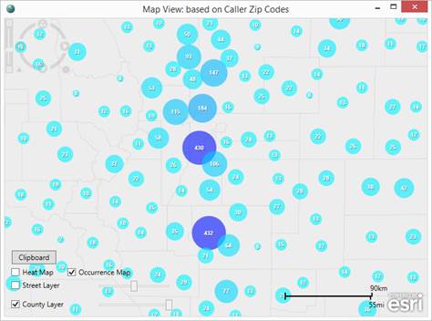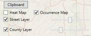
The Geo-Location mapping view supports the ability to display or hide the street and/or county layers along with occurrence layers. These layers and their opacity level are controlled in the lower left area of the screen.
By toggling these layers and adjusting their opacity levels, you can display occurrence information in variety of ways. Below is a sample image where only the county and occurrence layers are displayed.