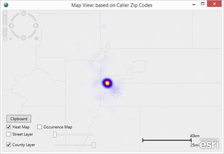
TDA Geo-Location Mapping supports the ability to view occurrences in the style of a heat map to more easily visualize areas of dense activity.
To activate the heat map, select the “Heat Map” layer from the layer controls area of the map as shown in the following image.